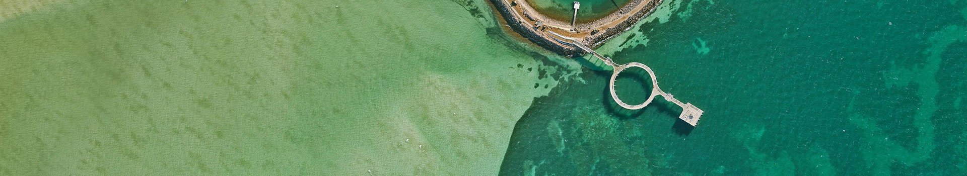
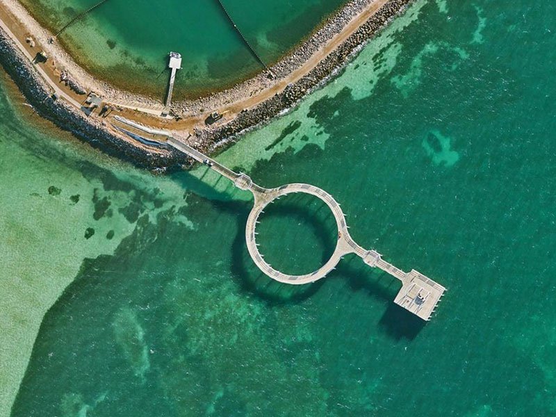
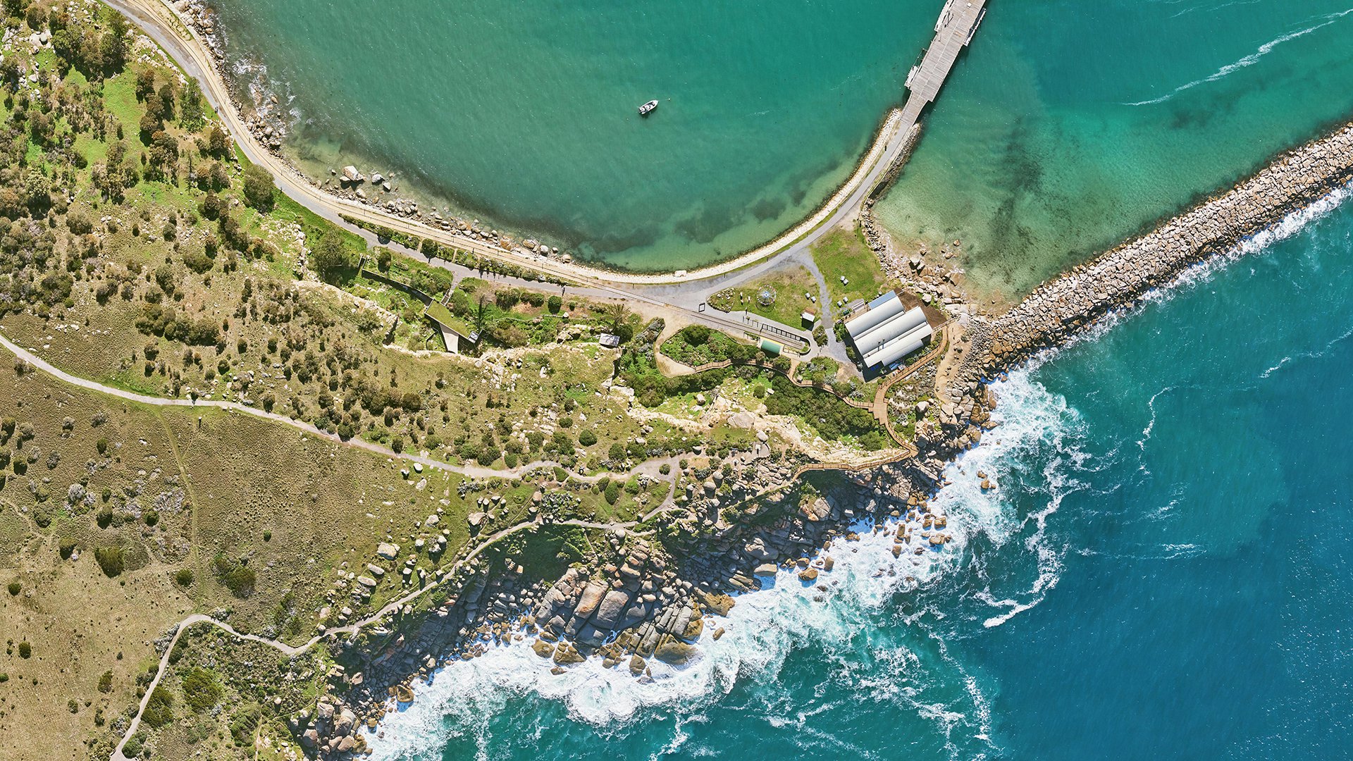
Request access to high-resolution aerial imagery from a range of epochs, across metro & regional Australia. Choose from 3-band / 4-band imagery based on availability. To learn about available datasets, you can view coverage extents through a free MetroMap trial.
Support your research with industry-leading LiDAR data. Request a standard 3D point cloud or derived datasets such as elevation data (DEM, DSM), vegetation metrics (such as canopy height models), contours, and other vector products.
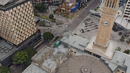
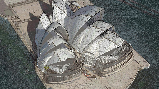
Our 3D data gives you access to high-resolution city mesh models that may provide context to your research project, help develop and visualise scenarios, or offer a comprehensive 3D base dataset for change monitoring.
While we are committed to supporting research activities and supplying data for the same, as an organisation we may have certain constraints. There are a few parameters that shall govern whether we can support your research initiative, and our team will evaluate your request based on these. Please do provide as much detail as possible in your request application, to help us assess quickly and accurately.
Some of the critical parameters that may impact our decision to support your data request include:

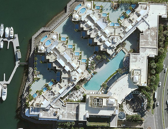
View aerial imagery on MetroMap to see our covearge and assess its fit for your research requirements. Access multiple epochs and 3/4 band imagery.
Start Trial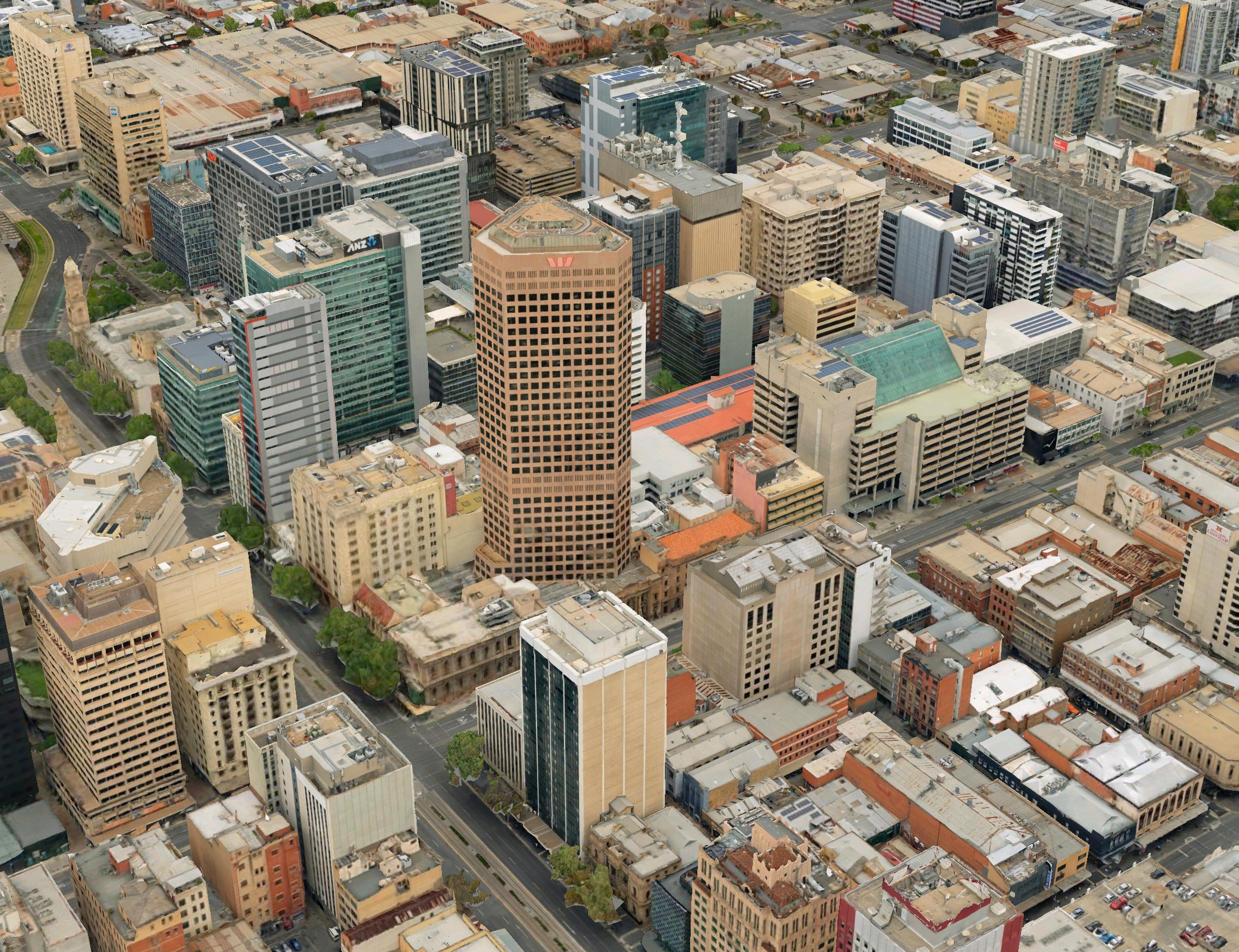
View our 3D data via a browser to see our recent coverages. Depending on your use case, we could look at older models for data supply also.
View Now