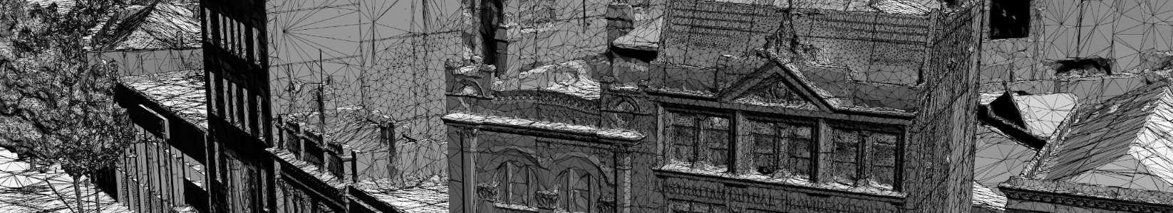
MetroMap 3D mesh models are generated using advanced photogrammetry techniques and aerial imagery captured using large format camera systems.
Large scale 3D cityscapes are currently used in construction, engineering, telecommunication, real-estate, media and entertainment industry. Typically, applications include visualization, simulation, measurements and change analysis.
The 3D data can be provided in a range of 3D formats suitable for use in 3D GIS and web applications. Major 3D formats include: FBX, OBJ, Cesium 3D Tiles, OSGB, ESRI i3s, Bentley 3SM/3MX, Skyline TerraExplorer 3DML. Other GIS outputs include: LAS 3D Point Clouds, DSM, True Ortho.
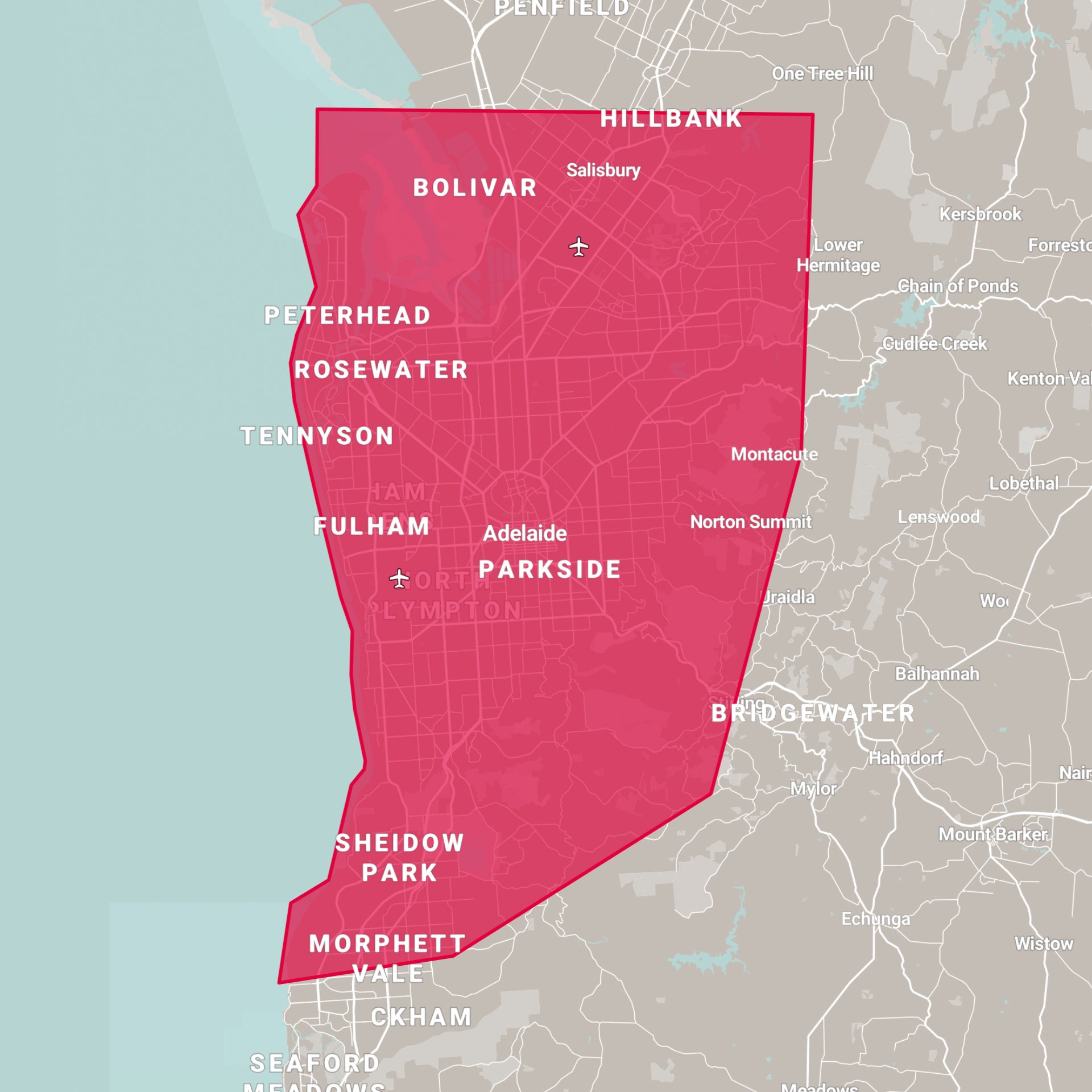
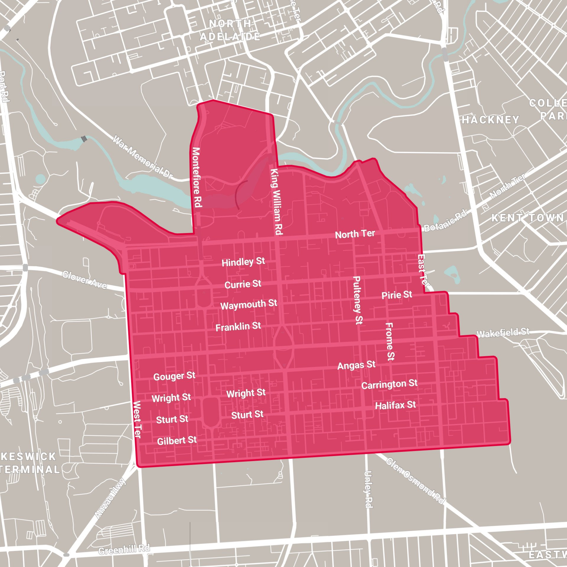
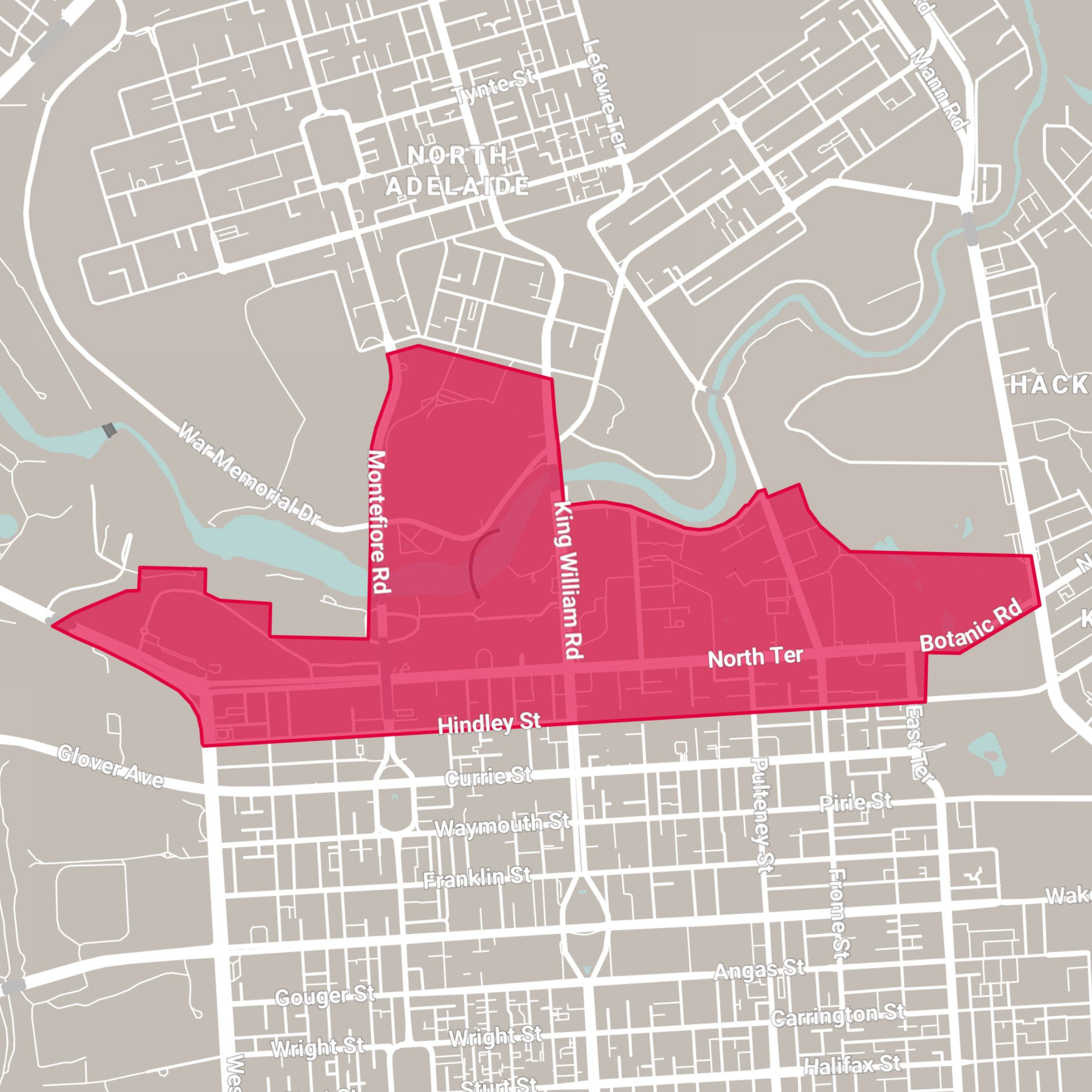
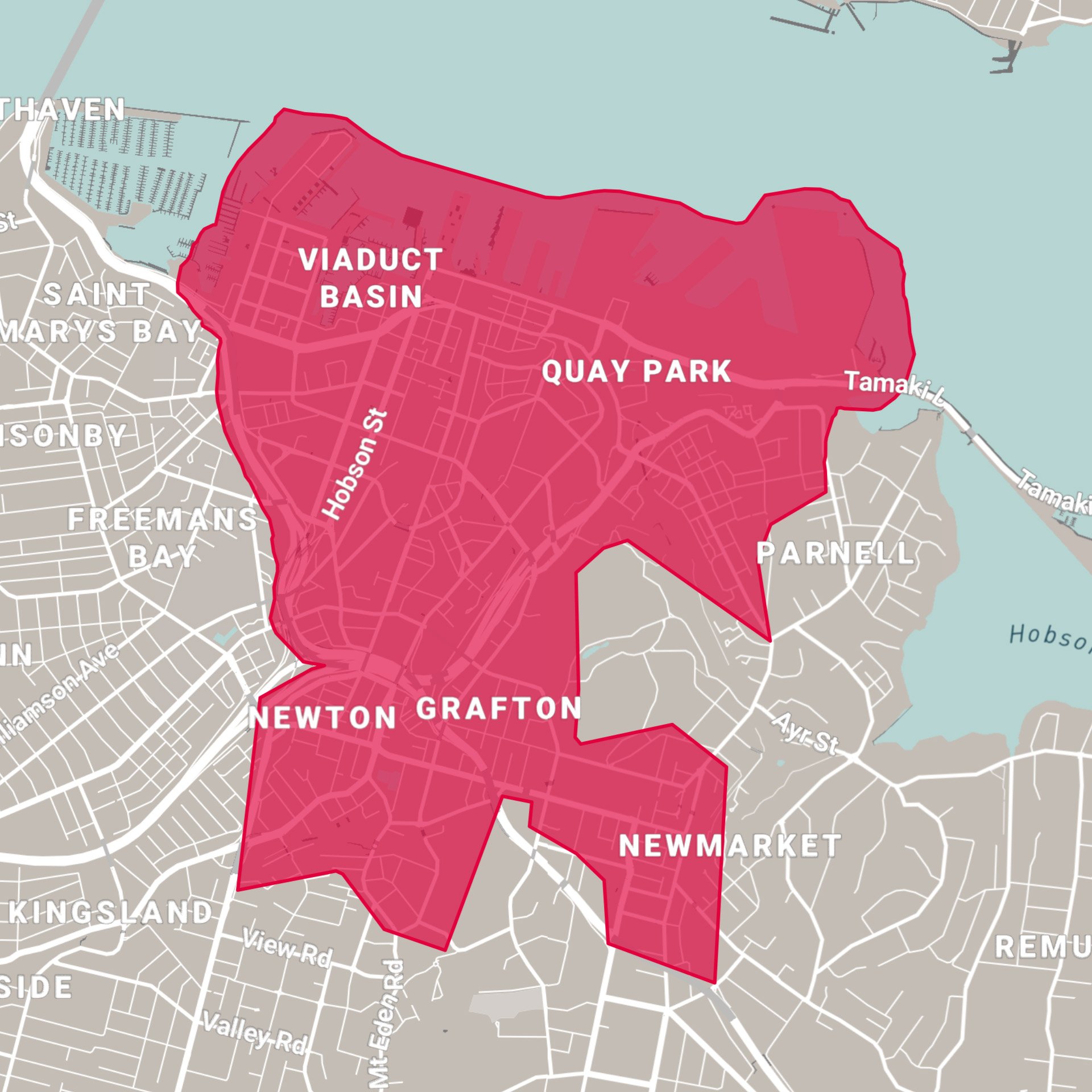
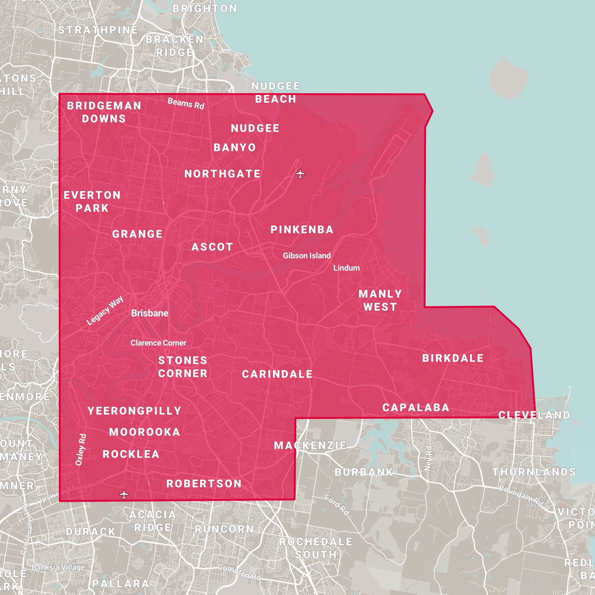
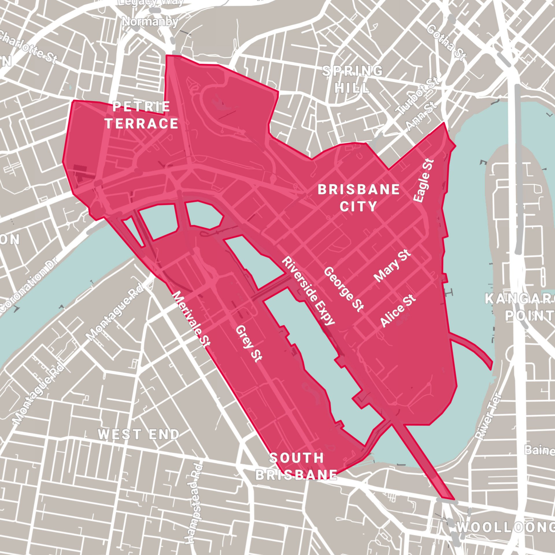
Choose from a range of cities and resolutions to provide context to your projects, develop and visualise scenarios as well as offer a comprehensive 3D base dataset for change monitoring.