Aerometrex Limited (ASX: AMX), the parent company behind MetroMap has entered into a minimum $2.65 million MetroMap licence agreement with Landchecker.
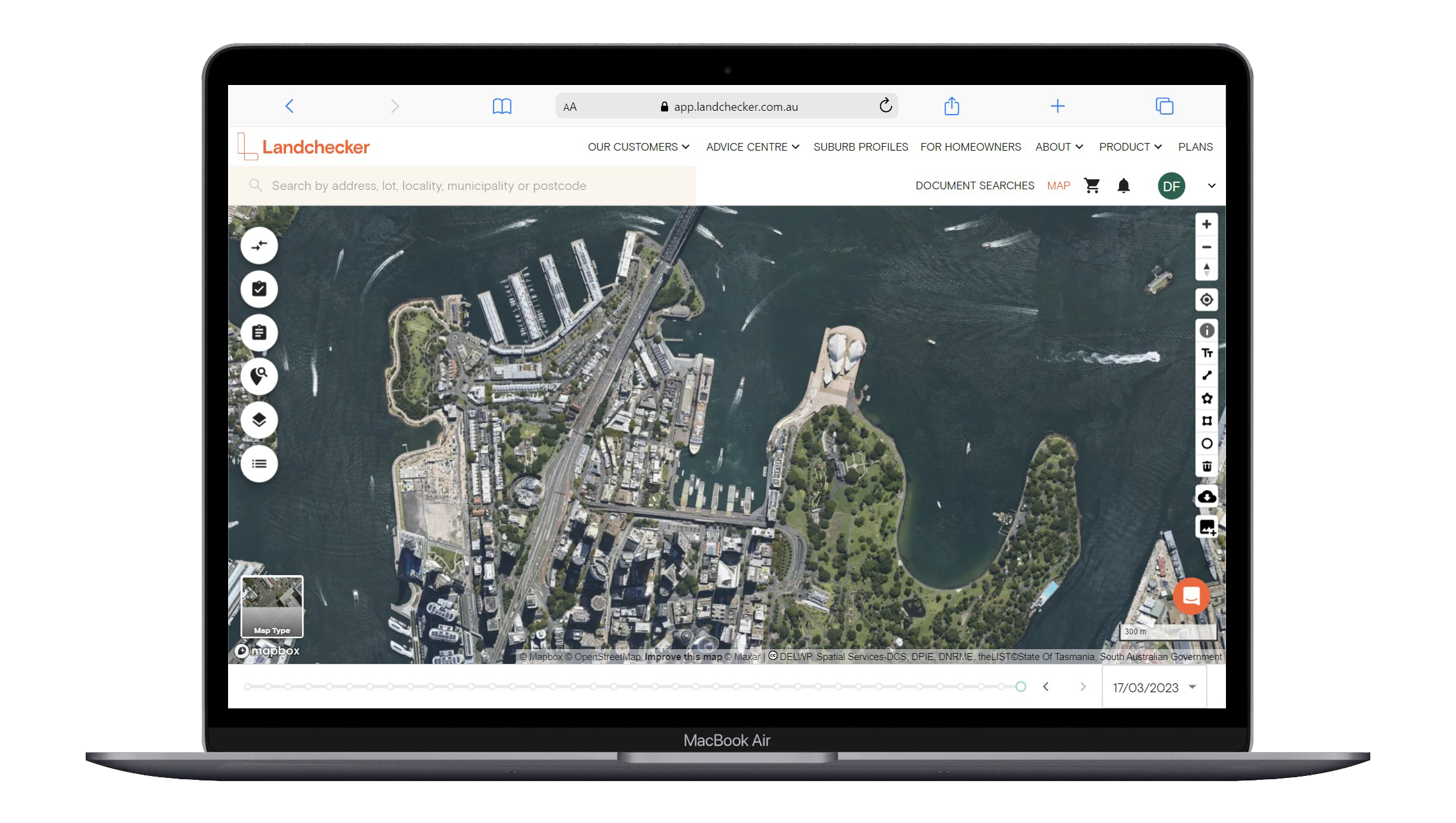
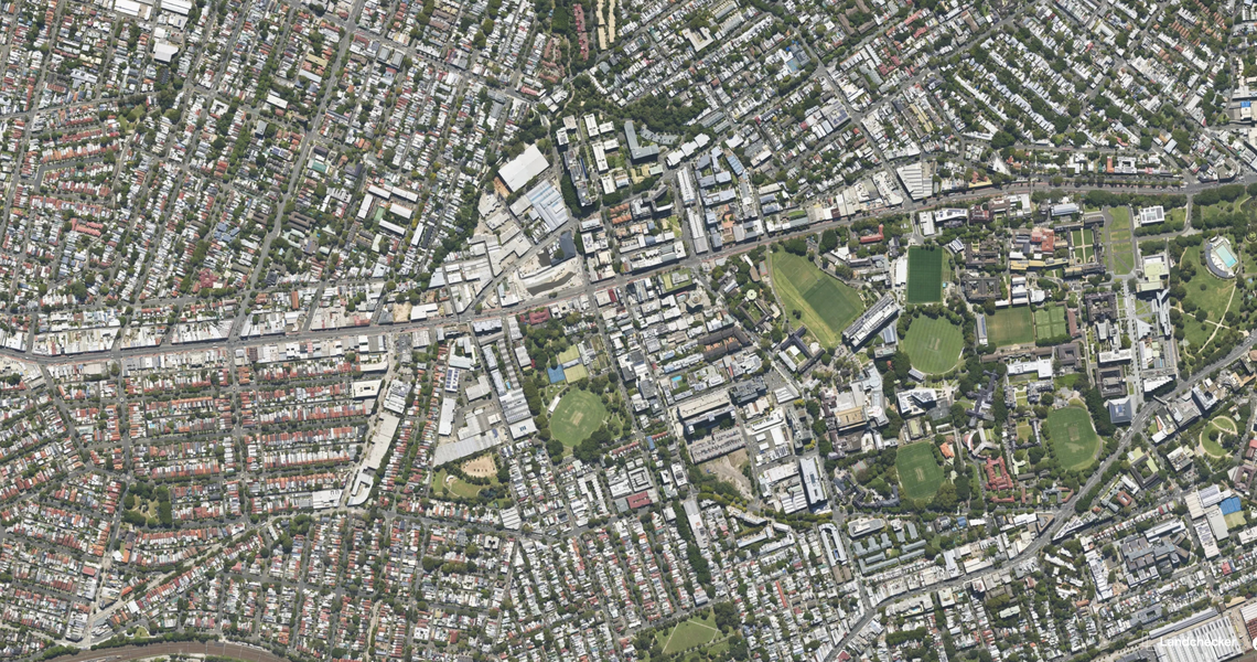
Landchecker is a Melbourne-based property data & technology business providing customers with fast, accurate and easy-to-interpret insights, helping users make informed property decisions across Australia. MetroMap’s high-resolution aerial imagery is currently used within Landchecker’s online platform and is subscribed to by Landchecker’s customers who use integrated products through the platform.
Commenting on the deal, Aerometrex’s Managing Director, Steve Masters said,
“This is a significant opportunity for both Aerometrex and Landchecker, building on the strong foundation and collaborative relationship between both companies. We are excited about what this new agreement can offer customers and look forward to working with Landchecker to realise its full potential. This is the largest MetroMap partner program agreement in Aerometrex’s history and will make a strong contribution to MetroMap’s Annual Recurring Revenue (ARR) stream over the contract term.”
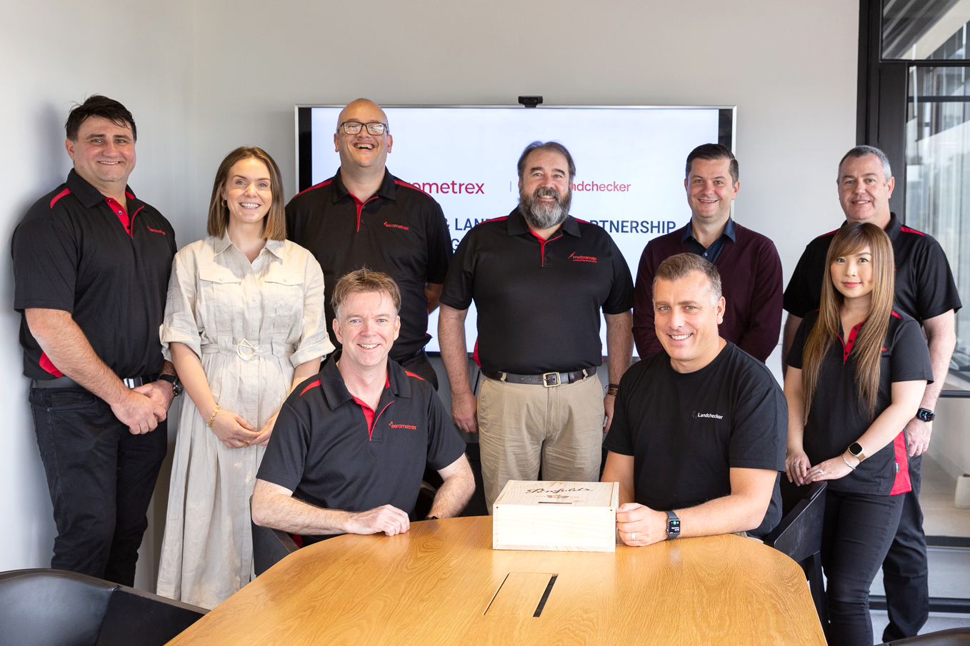
Representatives of the Aerometrex & Landchecker team celebrating the signing of the partnership
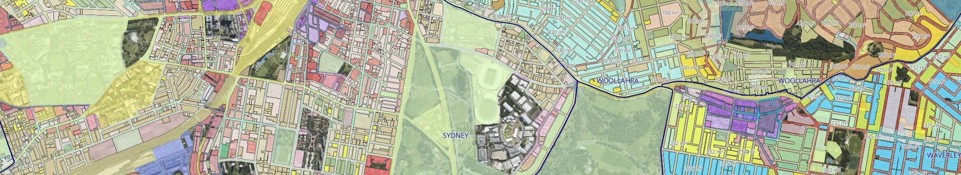
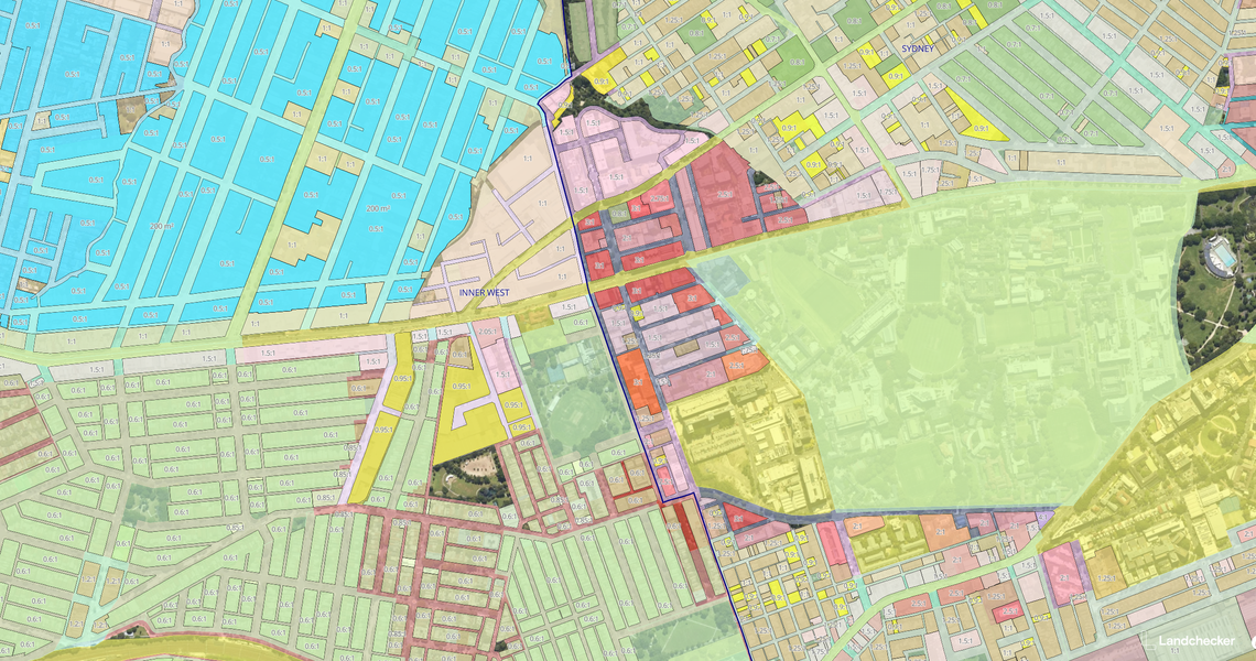
Ingesting and refreshed daily, the data displayed in Landchecker is provided by hundreds of trusted sources, including state government, local councils, and partners such as Aerometrex. Landchecker is used by Developers, Legal Practitioners, Valuers, Real Estate Agents, Architects, Town Planners, and property consumers Australia-wide. Landchecker customers have the ability to easily see the land size, planning permits/DAs, Zoning & Overlays and High-Resolution Aerial Imagery in a map-based platform for fast, accurate and easy-to-generate insights.
Sharing his views on how this agreement benefits their customer base, Landchecker’s Chief Executive Officer, Adam Gandolfo said,
“We are excited to be expanding our successful partnership with Aerometrex. MetroMap’s High-Resolution aerial imagery is an important data set many of Landchecker customers engage with daily. This partnership will enable us to provide more customers an equally compelling proposition, bundling our leading property data and insights with quality high-resolution imagery from MetroMap under flexible, cost-effective commercial arrangements. We see the partnership as a great outcome for all concerned, particularly Australia’s property professional community.”
Property professionals use Landchecker as their single-source of property information and data-driven insights.
Scott Butterworth, nominee Director for PEXA at Landchecker commented:
“This agreement solidifies the partnership between Landchecker and Aerometrex. As Landchecker continues to expand its offering among Australia’s legal practitioner and conveyancer network, datasets such as High-Resolution Imagery are becoming increasingly important to the efficient transacting and settling of property assets.”
Michael Sheehy, nominee Director for RACV at Landchecker also stated:
“This is a great partnership for Aerometrex and Landchecker – we are looking forward to seeing both businesses thrive.”
The MetroMap product continues to develop with investment in image capture, customer platform development, and product development. Prior to this agreement, the MetroMap partner program involved around 30 partners across a range of industries.
Read More: