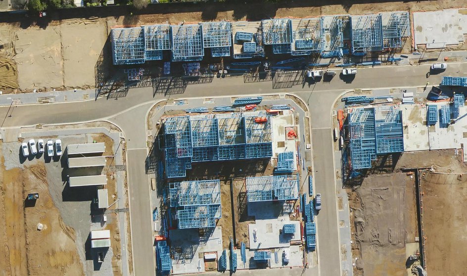
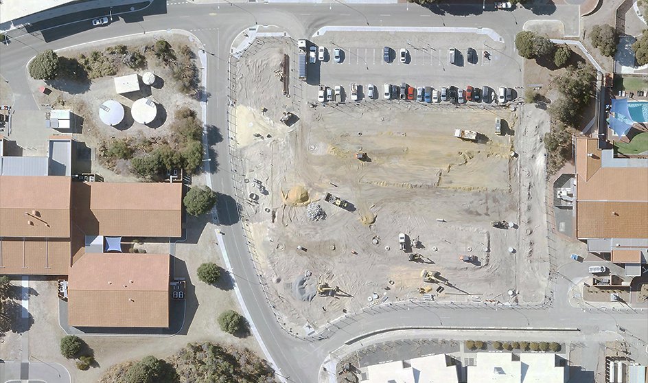
Simply put, MetroMap saves you time and money. Inspect sites without setting foot on them, reduce travel, and cut time spent on location. MetroMap’s high-resolution aerial imagery gives you a bird’s eye view of all of the buildings, roads, trees, and other features that affect build sites.
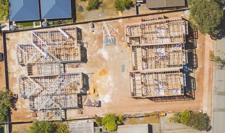
MetroMap will give you ground-level measurements, accurate within centimetres, from your computer. It's the next best thing to being on-site with tape, lasers, or surveying equipment. Measure whole sites or individual site features MetroMap’s in-built tools.
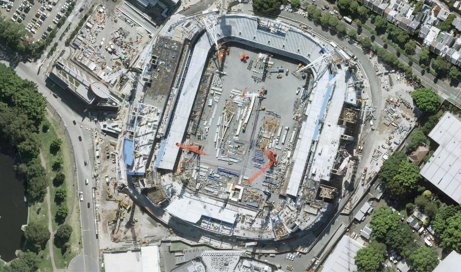
Every active account has full access to the past, present and future of MetroMap imagery. We update MetroMap imagery up to four times yearly, and our historical imagery stretches back decades. See how sites have changed over time and monitor your projects in the future.
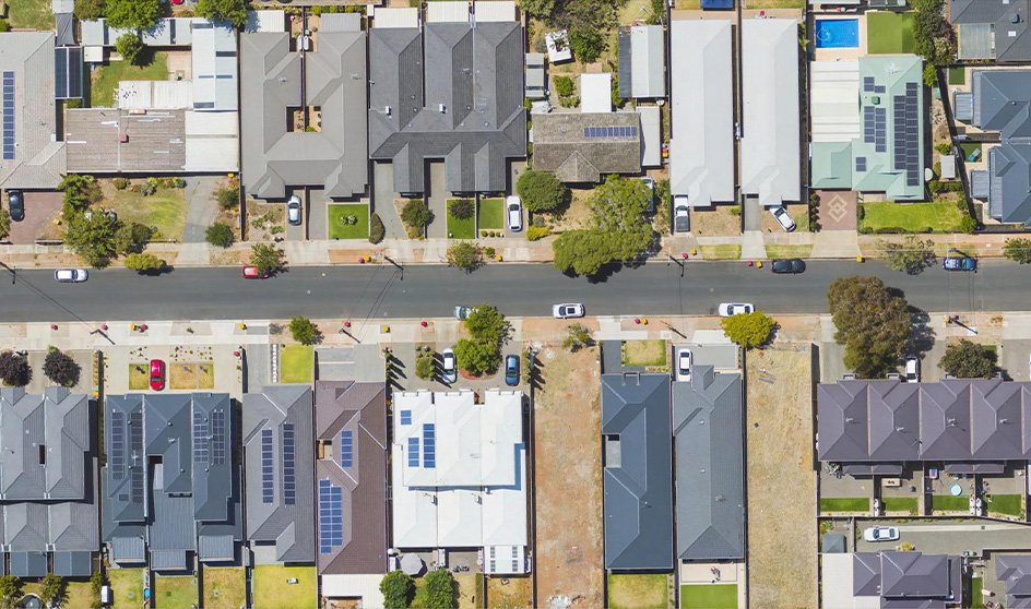
Access high-resolution, location-accurate aerial imagery anytime and anywhere, tailored to your project needs. Easily obtain imagery in multiple formats and projections to integrate seamlessly with your workflows and tools, supporting efficient analysis and decision-making.
Access MetroMap imagery anytime via web on desktop or mobile, or integrate it into your own platforms using our API. Get seamless, high-quality aerial data within the tools you already use to support your planning and analysis workflows.