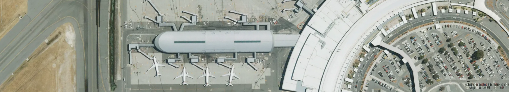
MetroMap Image Dedicated for ArcGIS is an Esri-compliant service that enables your organisation to access the full value of MetroMap data. Now you can empower your teams to harness the full potential of MetroMap's aerial imagery while optimising complex admin layer management, scalability of large datasets, and cost-effectiveness. Watch the video below to see how your organisation can:
Esri Australia hosted this webinar in collaboration with Aerometrex on 21st March 2024.
Go behind the scenes of MetroMap Image Dedicated for ArcGIS with Linda Skoog, MetroMap Product & Platform Manager at Aerometrex and explore how data management tools and image web services extend MetroMap's delivery system to include everything from geofencing to time-enabled filtering and more.
